SEE IT. SNAP IT. SHARE IT.

Keeping your community safe shouldn't be slow or complicated.

With CiviSnap, anyone can report an issue in seconds. Snap a photo, choose who should get it, and send. A better community starts with one snap.


Free to use iOS & Android Report in seconds
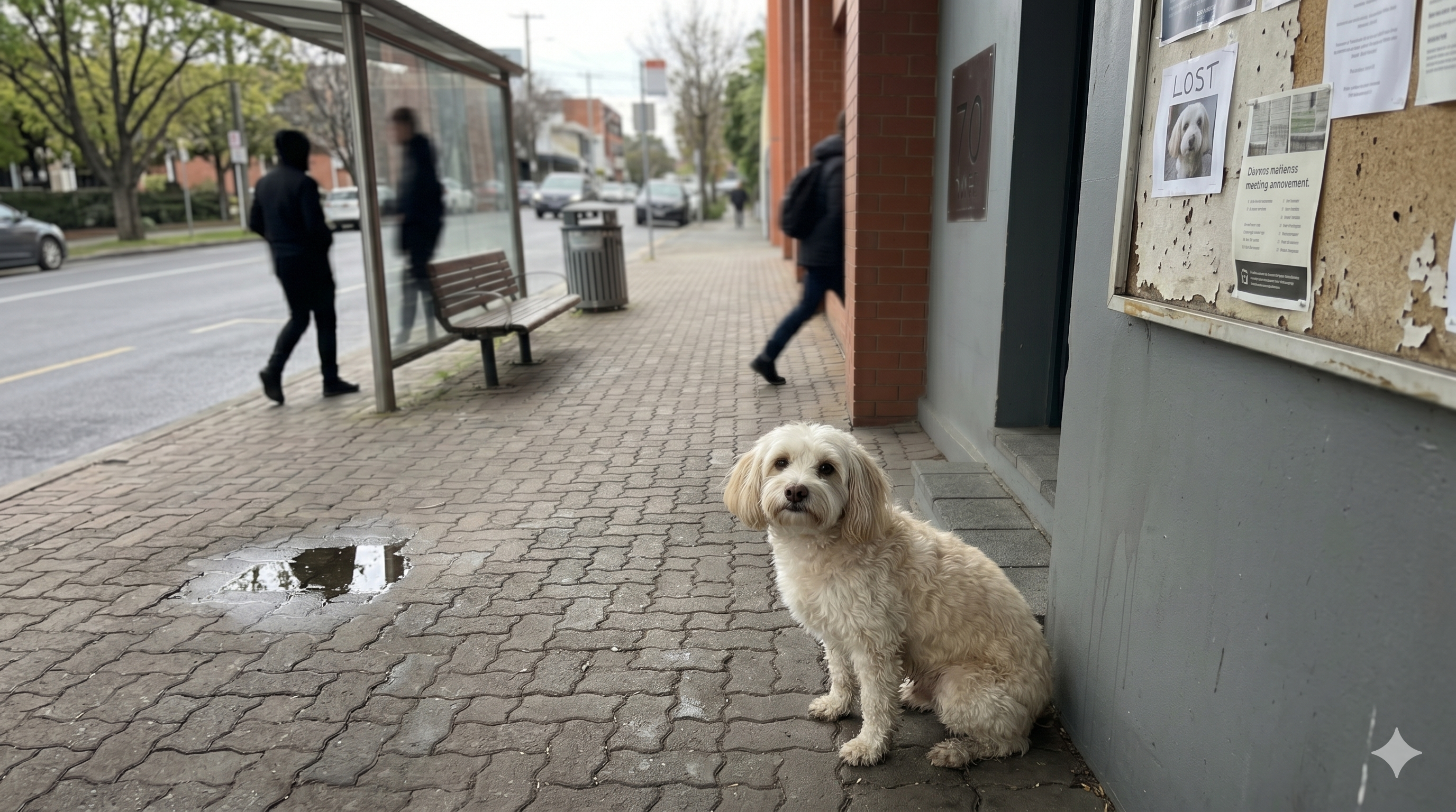
A lost dog being reported through the CiviSnap camera
CIVISNAP
Greenhill Rd, Glenside
Sent to your council Tracking. We'll tell you when it's fixed
Report in seconds
AI Smart Suggestions
Trusted by councils
Built for communities
Why it matters

This is happening on
your street right now.

A pothole. A stray near traffic. A trolley dumped on the footpath. Left alone they only get worse. Reported, they get sorted. Here's what people are snapping.

Lost dog
🐕

Lost dog on the footpath

Greenhill Rd, Glenside
"Loose dog found near traffic. We've taken her in, please advise on next steps."
Sent to council
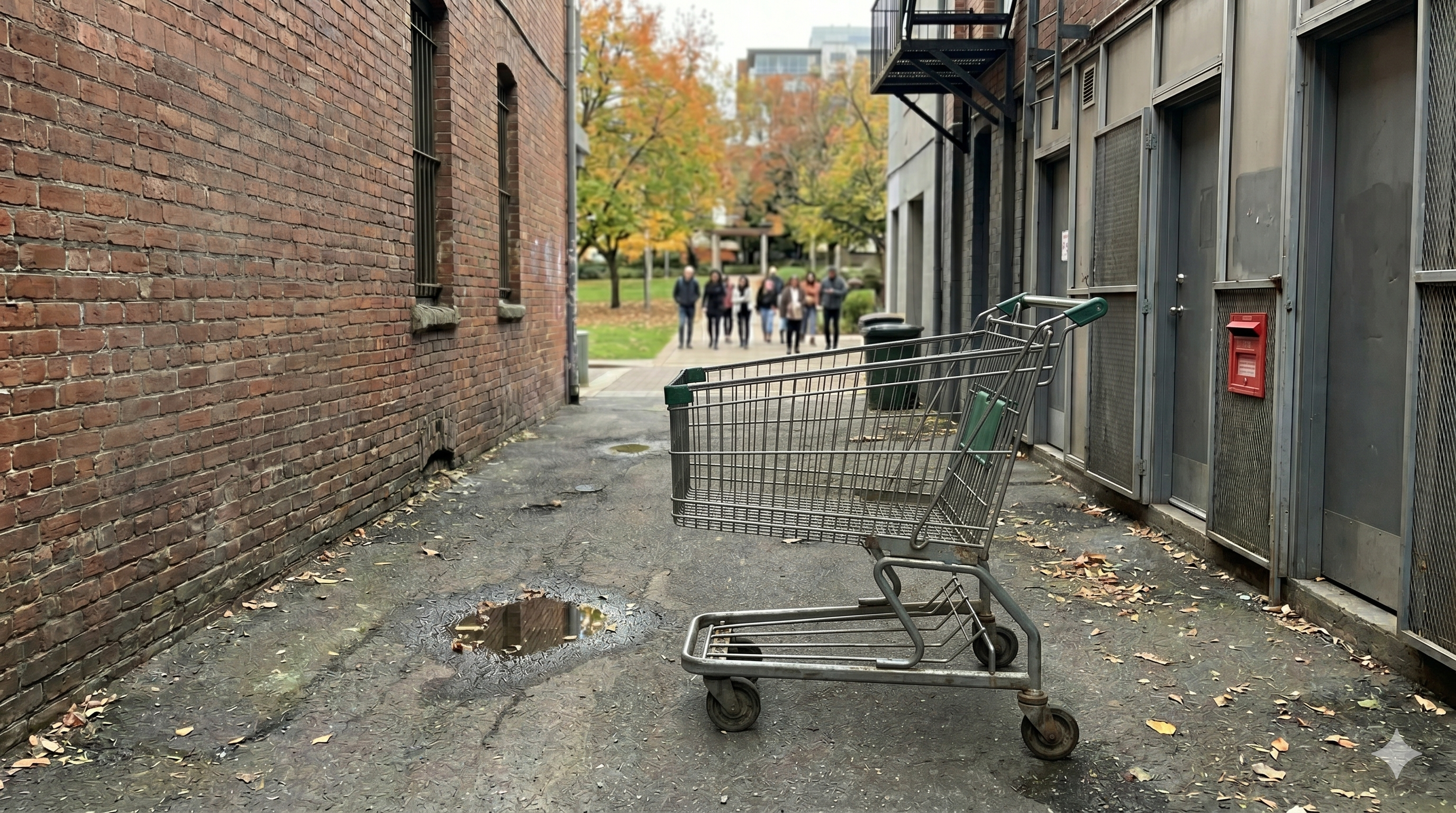
Lost trolley
🛒

Abandoned shopping trolley

Main St & Park Ave
"Trolley blocking footpath for three days. Trip hazard for pedestrians and prams."
Resolved
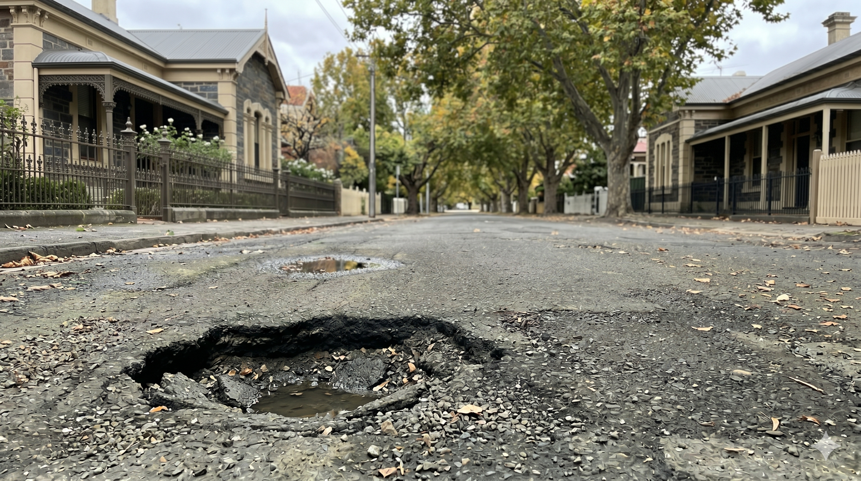
pothole
🕳️

Pothole after heavy rain

Burnside Rd, near No. 12
"Large pothole formed after last week's storm. Near-miss with a cyclist, urgent repair needed."
Submitted

Don't be the one who just walks past. Be the one who snaps it.

We've got the hard part

You shouldn't need to know
which department to call.

Which form? Which office? Which endless phone queue? Forget all of it. You spot the problem, and CiviSnap works out who can fix it and hands you the right contact, so your report lands on the right desk with everything they need to act.

  • We read the issue and work out what it is
  • We suggest exactly who can fix it
  • You send it, with photo, location and time already attached

How CiviSnap has your back

  • Private by design: you choose what you share
  • Free to use, on iOS and Android
  • Built to work with how councils already operate
  • You stay in the loop until it's resolved
How it works

Three steps. That's the whole job.

See it, snap it, choose who should handle it, and send. Then track it till it's fixed.

Snap it

Take a photo, and CiviSnap grabs the location for you. No forms, no phone queues, done in seconds.

Choose & send

CiviSnap suggests the organisations most likely to fix it. Pick the best match and send. It's emailed straight from your account.

Track it

Follow your report from submitted to resolved, and get pinged the moment it's fixed.

Get the app, it's free
How reporting works

Never guess who to contact again.

CiviSnap does the hard work of figuring out who can help, so you just pick the best match and send.

👤

Community Member

Spots an issue, opens CiviSnap, takes a photo

📍

CiviSnap

AI identifies the issue & location, then suggests the organisations most likely to help

🏛️

Council / Organisation

Receives a structured report with photo, location & timestamp

AI suggestion engine
🏛️
Local Council
Roads, footpaths, waste
🦊
Wildlife Rescue
Stray & injured animals
🚦
Transport Authority
Signals, signage, hazards
💧
Water & Utilities
Leaks, drains, outages
The payoff

Picture a neighbourhood that
actually gets looked after.

No chasing. No wondering if anyone heard you. Just problems, spotted and sorted, often before most people even notice them.

20 seconds, done

You report it in the time it takes to walk past, then get on with your day.

The right people, instantly

It reaches whoever can actually fix it, with everything they need to act.

“Fixed,” and you know it

A ping tells you it's resolved. Your street looks cared for. You made that happen.

For councils & organisations

CiviSnap works for you too.

Stop drowning in scattered calls, emails and manual triage. CiviSnap turns residents into a structured, real-time reporting network. Every report arrives with a photo, location and category, addressed to the right team from the start.

See how it works for councils & organisations Partner with CiviSnap
Good to know

Frequently asked questions

Is CiviSnap free to use?

Yes. CiviSnap is completely free to download and use on both iOS and Android.

How do I report a problem like a pothole or a stray dog?

Open CiviSnap and take a photo. The app captures the location for you, then suggests the organisations most likely to help. You pick the best match and send, and the report is emailed from your account.

Who does my report go to?

You choose. CiviSnap suggests the most relevant local council, wildlife rescue, transport authority, utility or other organisation for the issue, and sends your report there once you confirm.

Which areas and councils does CiviSnap work in?

CiviSnap works across Australia. For any issue, it suggests the most relevant local organisation based on your photo and location.

Is my information private?

Yes. CiviSnap is private by design. You choose what you share, and reports are sent from your own account.

What happens after I send a report?

You can track it from submitted to resolved, and you will be notified as the organisation responds.

CiviSnap mascot

READY TO MAKE YOUR
COMMUNITY SAFER?

Download CiviSnap and report your first issue today. It's free!